Curtis Creek Channel Improvements
Project overview
The proposed project includes a review of the entire natural channel system throughout Curtis Creek from the Trent Canal to Tivey Street. Flood reduction and natural channel improvements will be designed where measurable flood reduction and channel erosion control benefits can be implemented. Curtis Creek through the project area traverses through a number of private residential lots and public lands.
The proposed works have been designed to reduce flooding by modifying portions of the channel and providing an appropriate low flow channel throughout the system. Flooding occurs when stream flows present a hazard by coming in contact with private or publicly owned buildings and infrastructure. It should be noted that while the proposed works will significantly reduce flooding during the majority of rainfall events, overflowing of stream banks will still occur during intense storms.
The recommended works will incorporate the principles of natural channel design by better utilizing floodplain storage on public land, and natural channel forms and functions, where possible. This will reduce the depth of flooding and improving the efficiency of the newly replaced culverts.
Natural material and softer engineering approaches will be used to restore modified channel and floodplain areas. This may include riparian zone plantings, vegetated stone revetments, live staking or brush layering. There will be limited use of hard engineering methods (i.e. armourstone walls). The softer engineering methods will provide for reduce bank and soil erosion while also providing an overall improvement on fish habitat, improved ecological quality to the watercourse.
Consultation
Consultation for this project is now closed.
The sites
The project has been divided into separate sites and their proposed works are described below:
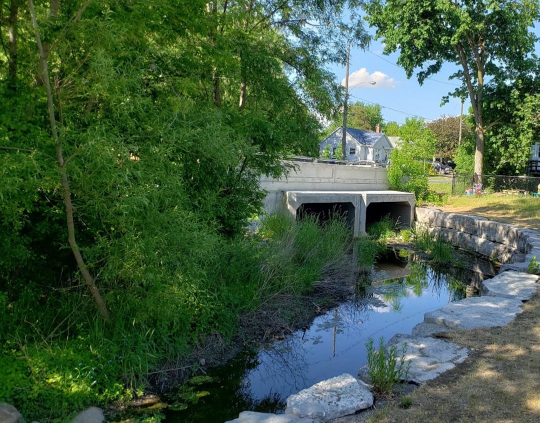
Site 1: Upstream and Downstream of Armour Road Culvert
Proposed works:
- Reinforce toe of stone lined wall along 617 Armour Road by placing additional stone with plantings
- Minor channel regrading to increase conveyance capacity of watercourse between 607 and 617 Armour Road
- Removal of armourstone upstream (east) of Armour Road to increase conveyance capacity and improve fish habitat by incorporating a vegetated boulder revetment
Site 2: Upstream and Downstream of Caddy Street Culvert Crossing
Proposed works:
- Removal of armourstone wall downstream (south) of Caddy Street and replacing with vegetated boulder revetment to provide greener bank treatment and to increase conveyance capacity of the watercourse and culvert
- Minor channel regrading to increase conveyance capacity of watercourse both upstream (north) and downstream (south) of Caddy Street
- Removal of berm and lowering of existing manhole to provide improved floodplain access
Site 3: Downstream of Euclid Avenue
Proposed works:
- Remove armourstone wall downstream (south) of Euclid Avenue and realign watercourse to improve the hydraulic efficiency of the new curvet and better utilize flood storage in the park
- Take advantage of the channel realignment to build sidewalk along southern edge of Euclid Avenue and provide public access to the area.
- Restore newly aligned channel with vegetated boulder revetment to provide greener bank treatment and improve aquatic habitat
- Construct pocket wetland at storm sewer outfall location to enhance water quality treatment of storm sewer discharge.
Next steps
This project is currently in the tendering process, tree removals are schedule to commence Winter of 25/26 and creek works will follow in the Spring of 2026.
Issued for Construction Drawings

Who's Listening
-

Phone 705-742-7777 ext 1507 Email cmei@peterborough.ca -

Phone 289-657-9797 Email pgreck@greck.ca